


Geographic Information Systems

Remote Sensing (RS)

Enterprise Systems and Data Analysis

Spatial Programming and Geographic Tools Development
What can the GIS field offer?
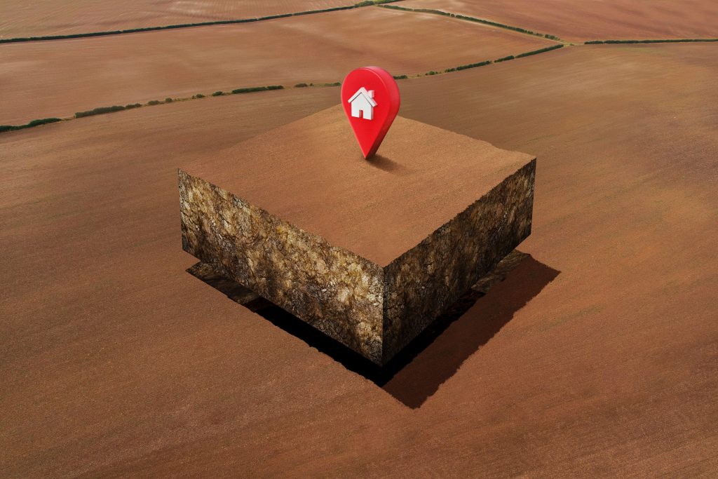
Providing Spatial Data Analysis and Management Solutions
1-Spatial Data Creation and Analysis:
– Design customized geographic solutions.
– Analyze data to identify optimal locations.
2-Geodatabase Management:
– Set up and manage geodatabases.
– Enhance data storage efficiency.
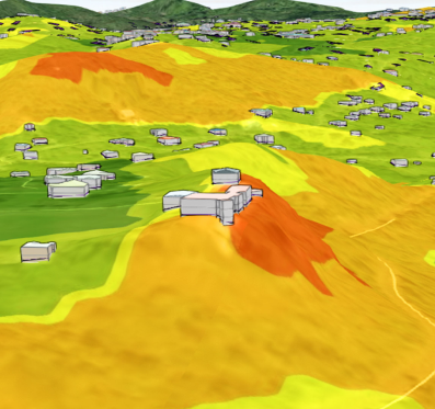
3-Interactive Map Development:
– Create high-quality maps.
– Build dynamic dashboards.

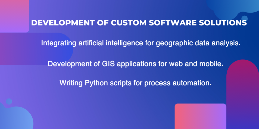
Developing custom software solutions
1-Developing GIS applications for web and mobile.
2-Writing Python scripts for process automation.
3-Integrating artificial intelligence for geographic data analysis.


T-shirt
T-shirt